
The Indian Space Research Organization (ISRO) recently published the Landslide Atlas of India, which identifies landslide hotspots throughout the country.
Landslides
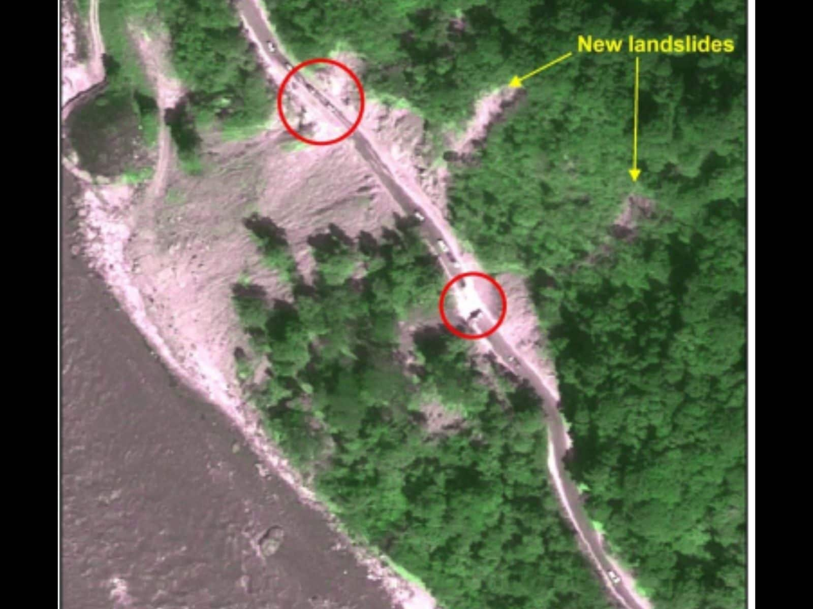
- Landslides are natural disasters that occur in mountainous terrains due to favourable soil, rock, geology, and slope conditions.
- The sudden movement of rock, boulders, earth, or debris down a slope is referred to as a landslide.
- Natural causes such as heavy rainfall, earthquakes, snowmelt, and slope undercutting due to flooding can all cause them.
- They are extremely dangerous, endangering human and animal lives, causing property damage, destroying roads and bridges, disrupting communication lines, and snapping power lines.
- Landslides are broadly classified based on the materials involved, the type of material movement, and the type of material flow.
Why do they happen?
- Landslides are natural disasters that occur primarily in mountainous terrains due to favourable soil, rock, geology, and slope conditions.
- Landslides can be triggered by heavy rainfall, earthquakes, snow melt, and slope undercutting caused by flooding.
- Landslides can also be caused by anthropogenic activities such as excavation, hill and tree cutting, excessive infrastructure development, and cattle overgrazing.
Factors that contribute
- Landslides are influenced by lithology, geological structures such as faults, hill slopes, drainage, geomorphology, land use and land cover, soil texture and depth, and rock weathering.
- Rainfall variability is the single most common cause of landslides in India, with the Himalayas and Western Ghats remaining particularly vulnerable.
The vulnerability of India to landslides
- India is ranked among the top five landslide-prone countries in the world, with at least one death per 100 square kilometres reported each year as a result of a landslide event.
- Approximately 12.6% of the country’s geographical land area (0.42 million sq km) is prone to landslides, with the North-western Himalayas accounting for 66.5% of landslides, the North-eastern Himalayas accounting for 18.8%, and the Western Ghats accounting for 14.7%.
Specific state risks
- Mizoram had the most landslide events in the previous 25 years, with 12,385 total, 8,926 of which occurred in 2017.
- During the 2017 monsoon season, Nagaland and Manipur also experienced a high number of landslides.
- Uttarakhand and Kerala had the highest number of landslides, with Uttarakhand having 11,219 events since 1998 and Kerala making residents significantly vulnerable to fatalities despite having fewer events.
Landslide Classification and Mapping
- Landslides are classified broadly based on the materials involved, the type of movement, the type of material flow, and whether they spread laterally.
- The Landslide Atlas of India primarily maps landslides based on events and seasons.
- The National Remote Sensing Centre (NRSC) used a landslide database created using aerial and high-resolution satellite images from 1998 to 2022.
Source: https://indianexpress.com/article/explained/explained-sci-tech/landslide-atlas-what-states-regions-are-most-vulnerable-8489965/